Overview: AOI Manager
In this chapter, you will get to know how to create, search, view, filter, edit, and delete an Areas of Interest (AOIs) to support precise, repeatable geospatial analysis workflows.
An Area of Interest (AOI) is a user-defined geographic boundary drawn on a map to highlight the specific region you want to analyze or annotate. AOIs help you and your team focus on relevant regions, maintain consistency across projects, and provide structured, reusable inputs for advanced filtering, reporting, and AI training.
Accessing AOI Manager
In this section, you will learn how to access the AOI Manager sub-module.
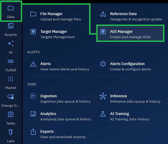
To access the AOI Manager module, do the following:
-
Login to the platform.
-
Click the Data module and then click the AOI Manager sub-module.
The AOI Manager page is displayed.
When Should You Use an AOI?
- Focus Your Analysis: Clearly define where you want to study imagery, make annotations, or extract insights.
- Improve Consistency: Ensure your entire team uses the same user-defined geographic boundaries.
- Enable Reuse: Save AOIs and use them across the platform without redrawing them.
- Support AI Training and Reporting: Provide clear, structured geographic context that models and reports can rely on.